Day 1:
Stopped and did a short 6 mile hike to a waterfall. Parts of the highway getting to this point are pretty messed up-by that I mean the road follows the knife edge top of rock, with 1000' drops on either side (edit: checked my topo & it isn't 1000', but it sure seemed like it). The road barely fits.
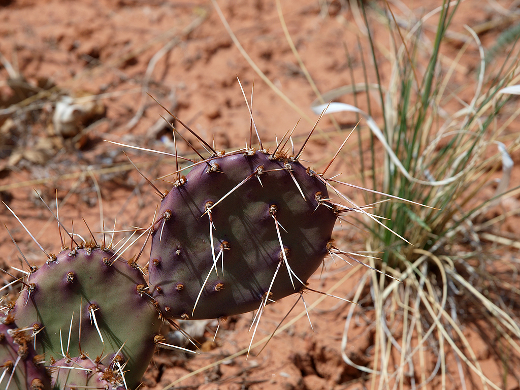
I don't know if these things were changing from purple to green, or the other way around:
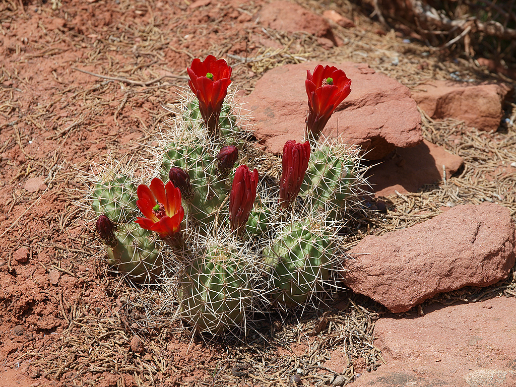
Everything was in full bloom:
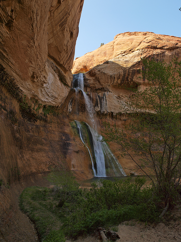
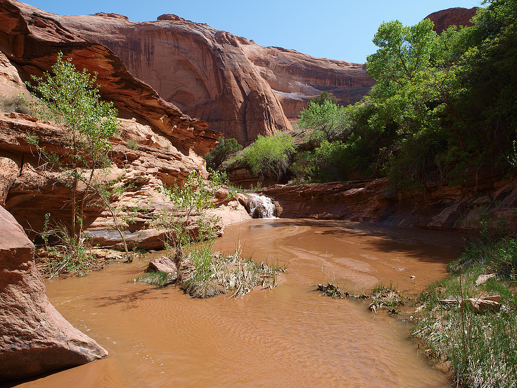
Not very exciting, but waterfalls in the desert are slightly rare:
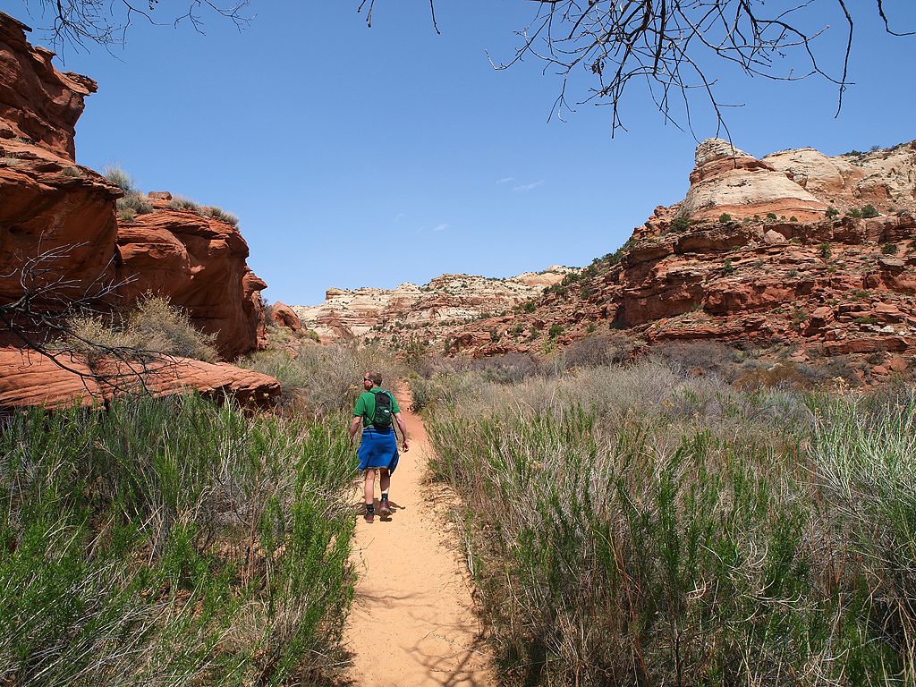
Stopped in the tiny town of Escalante for food & fuel, then drove down the crappy dirt roads to arrive at our main trailhead & camp for the night:

Day 2:
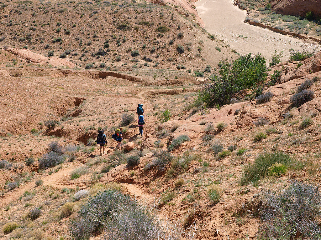
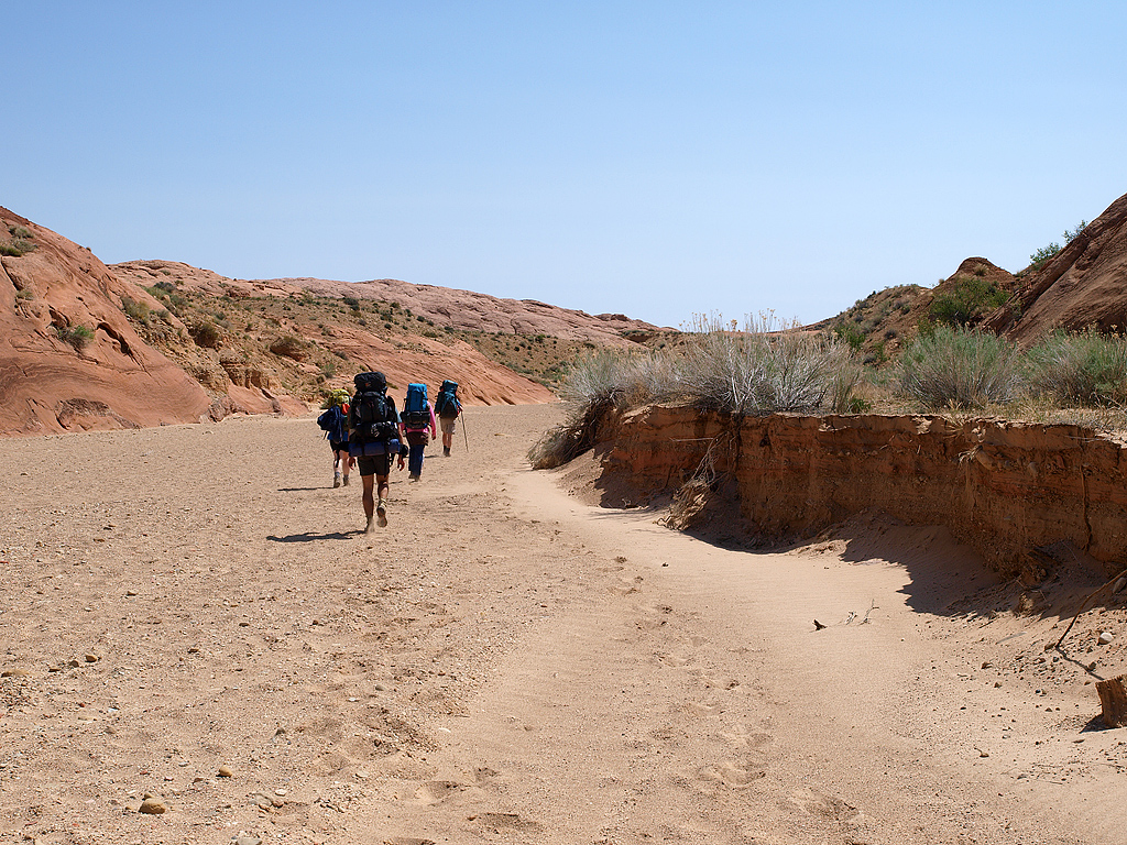
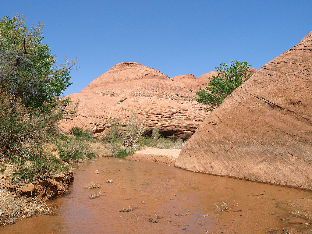
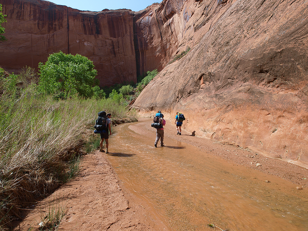
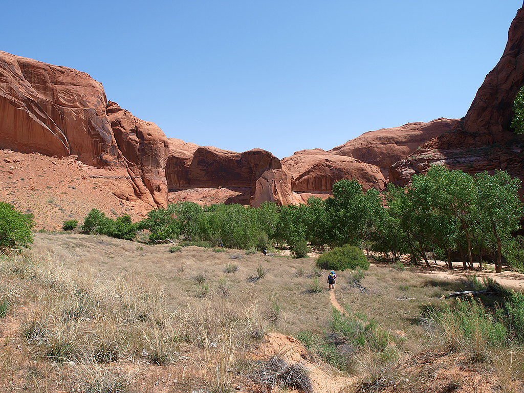
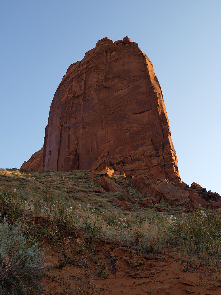
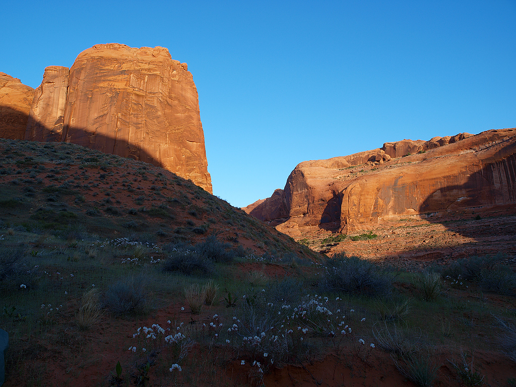
About a 1/2 mile from the trailhead:
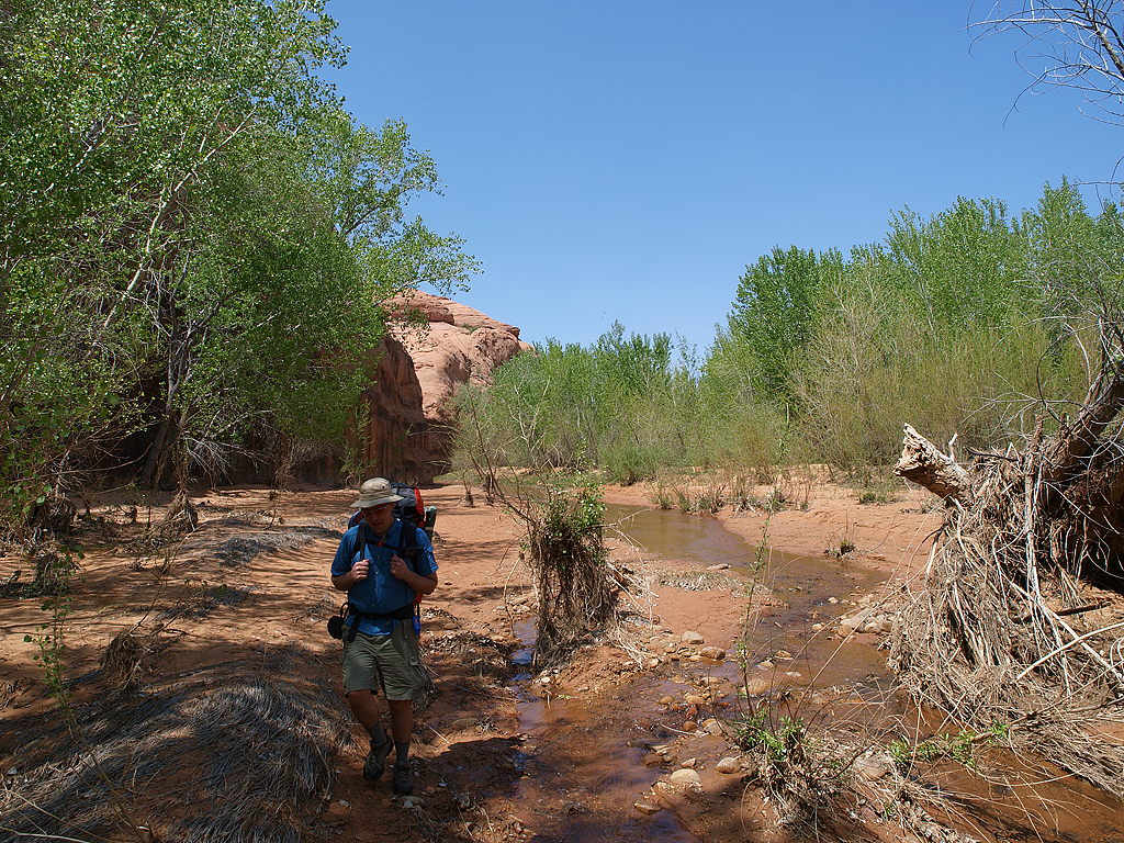
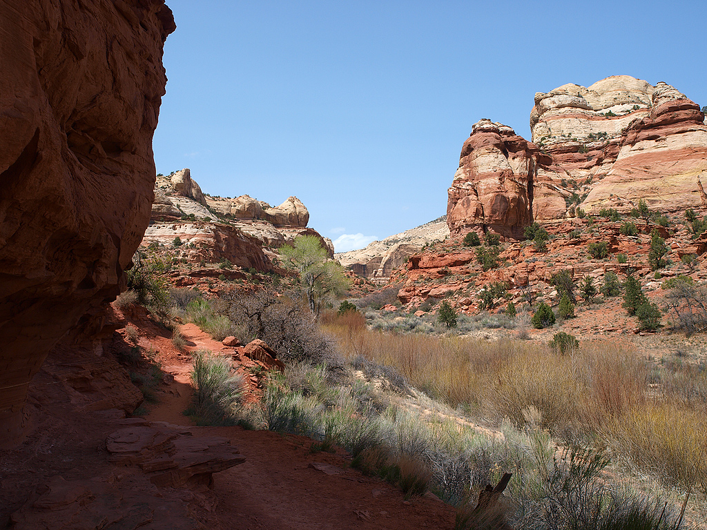
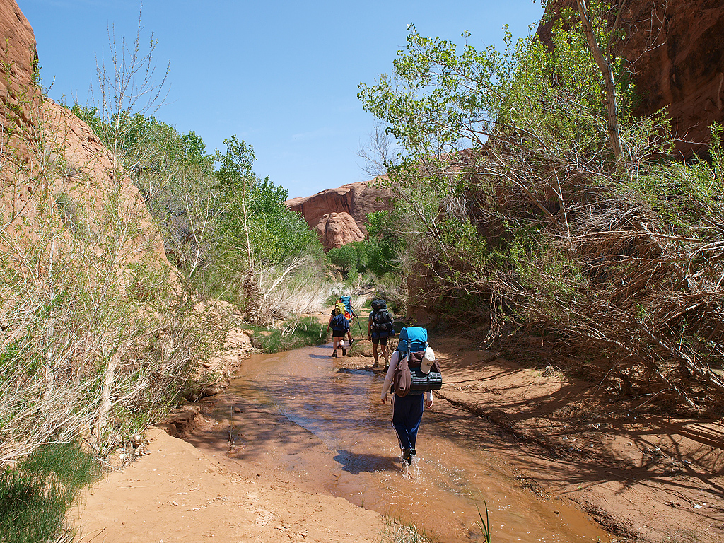
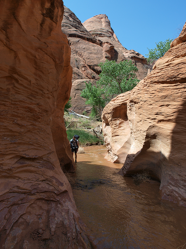
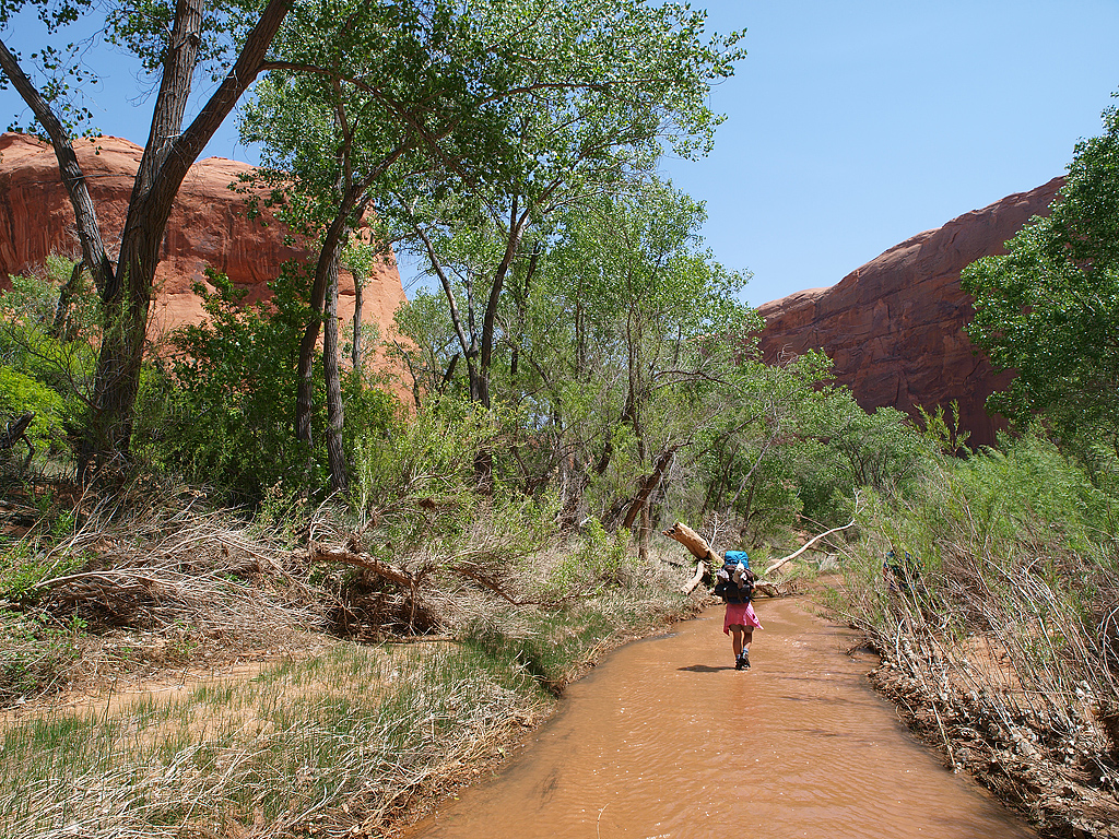
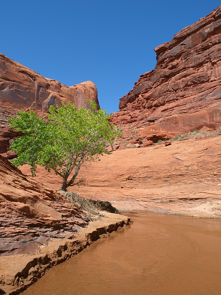
80% of the time we had to walk in the water because of super dense vegetation, or sheer rock walls.
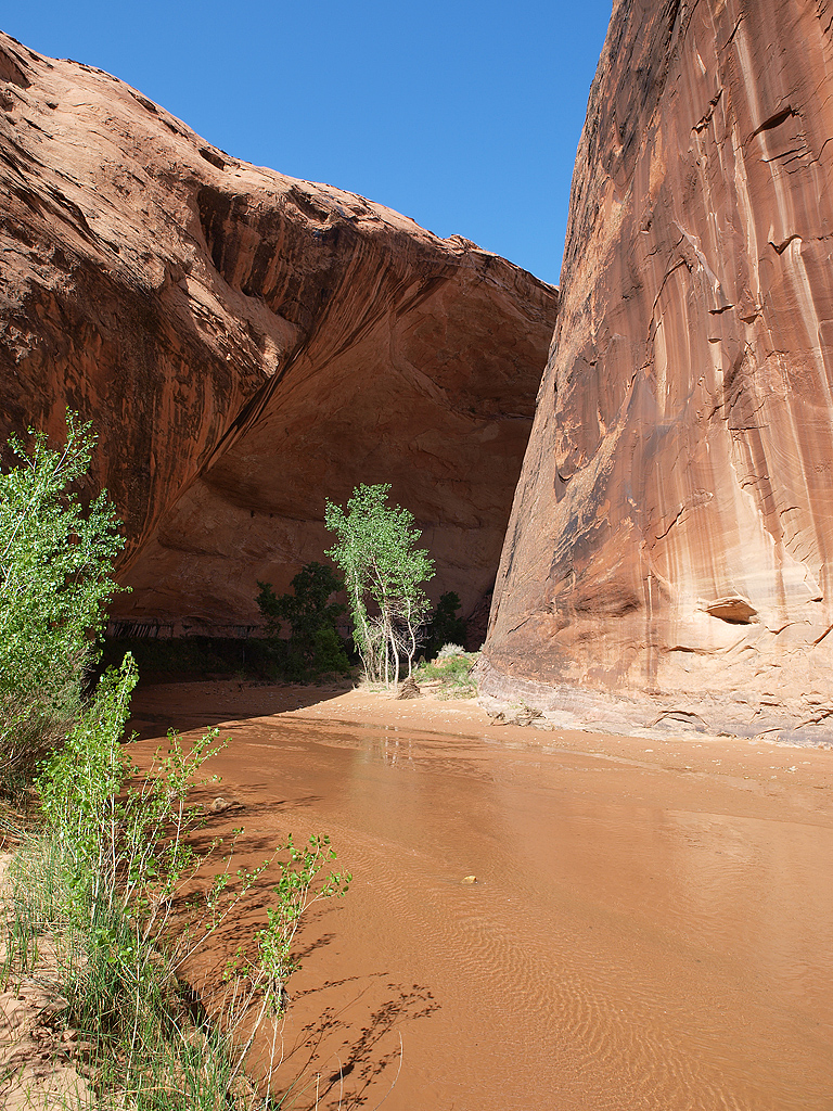
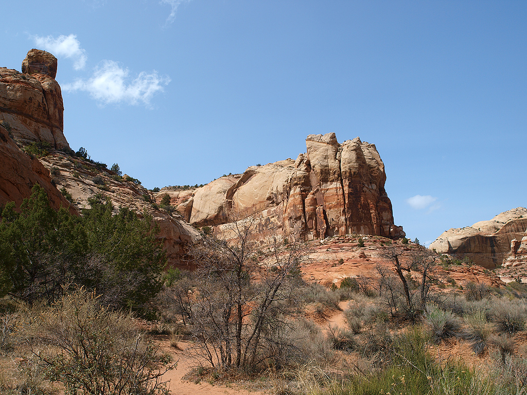
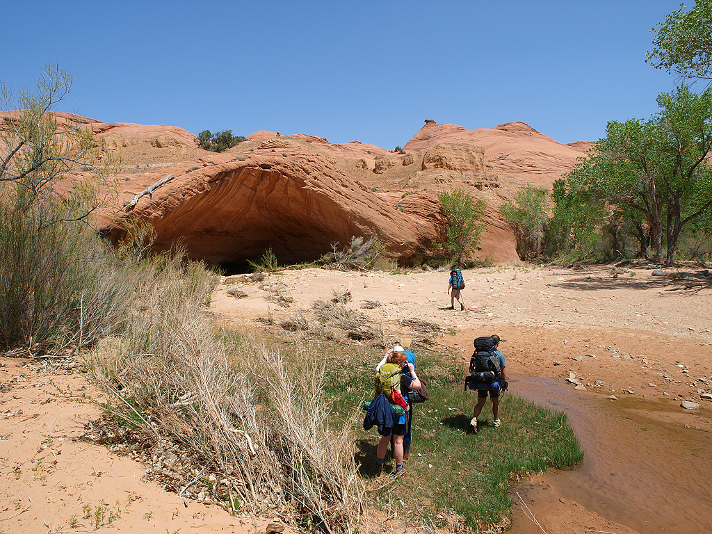
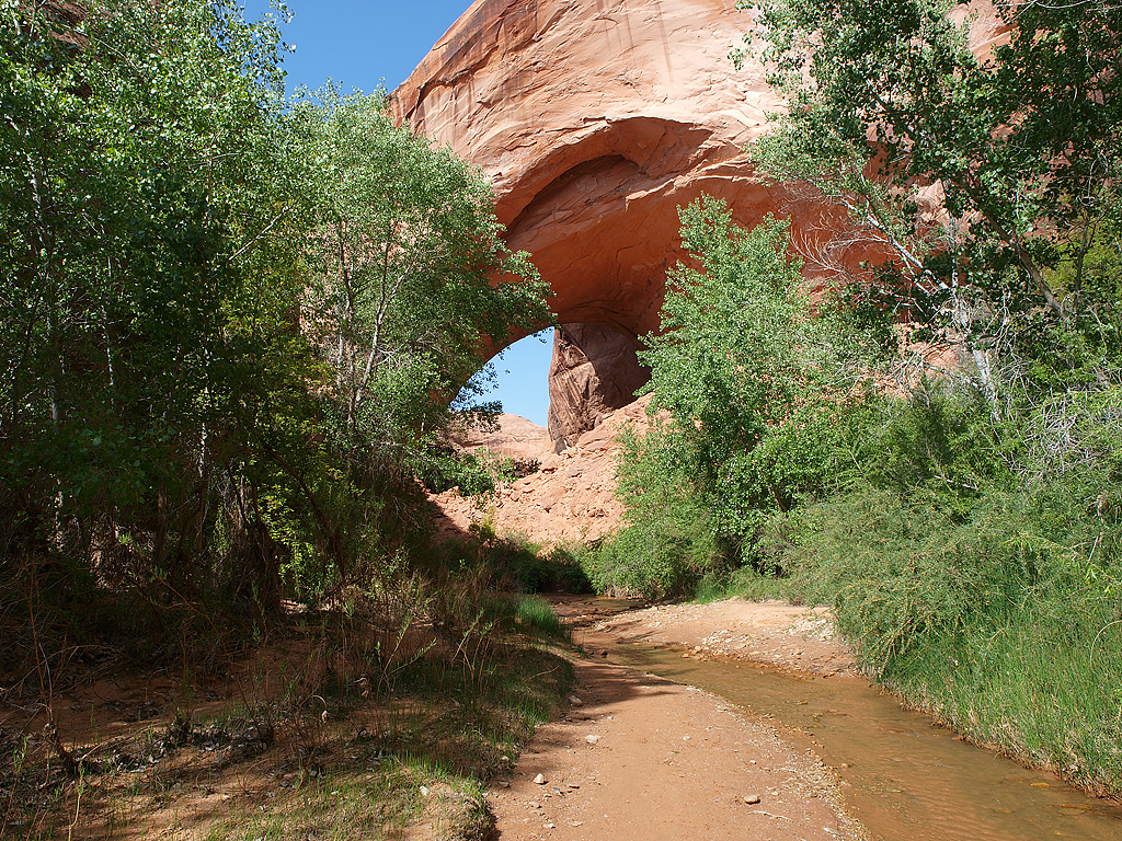
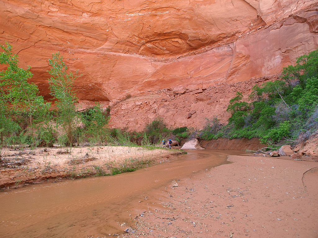
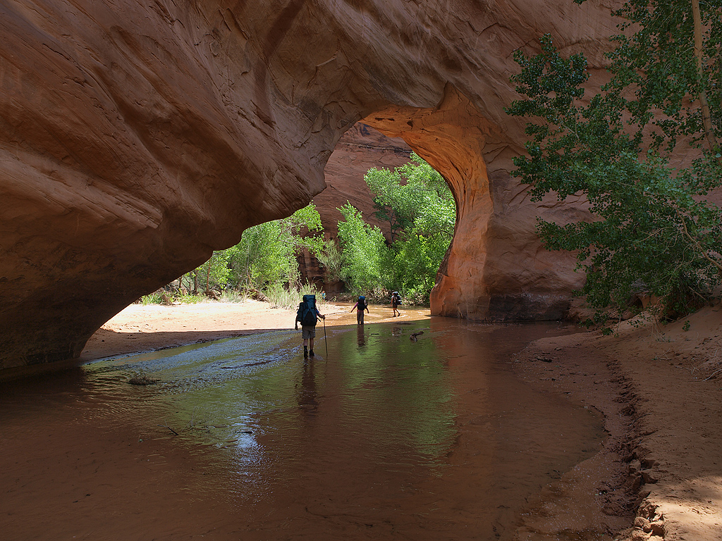
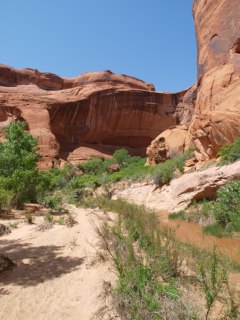
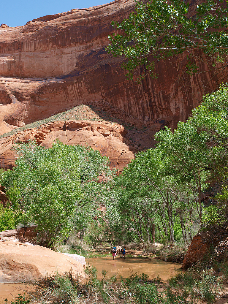
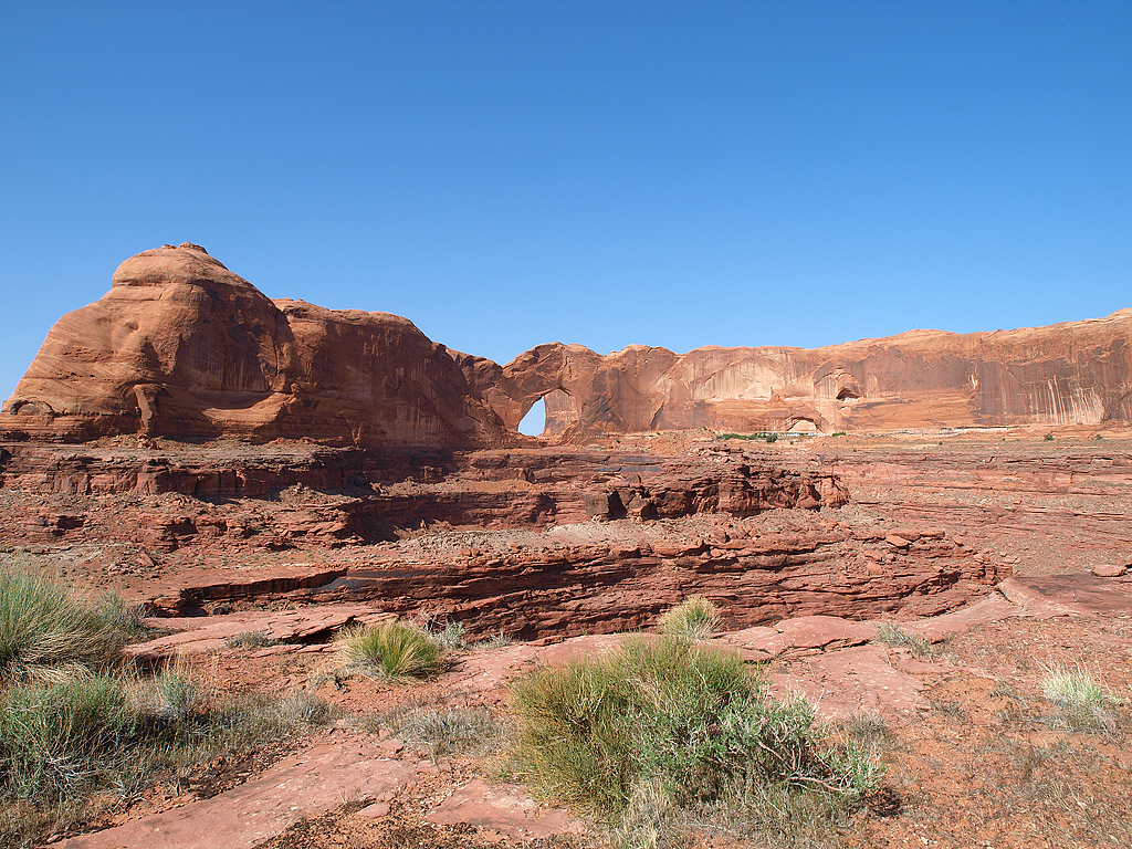
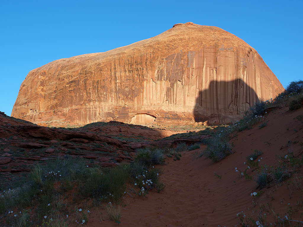
The first of many arches we encountered:
Day 3:
Natural bridge:
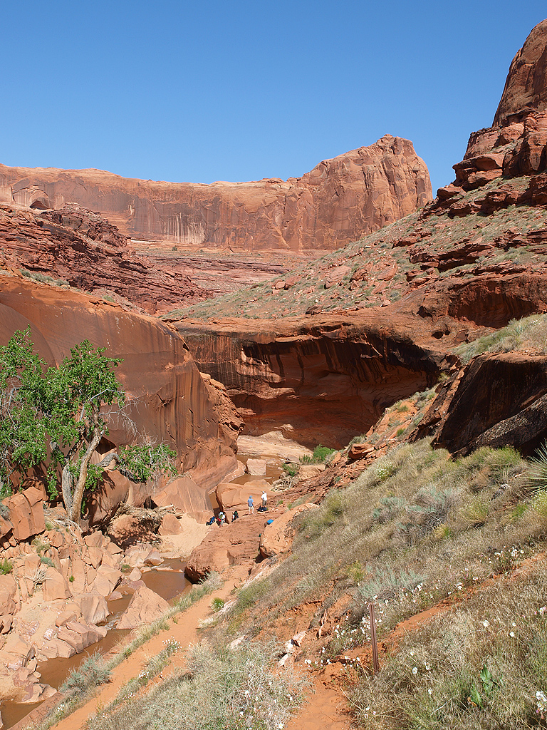
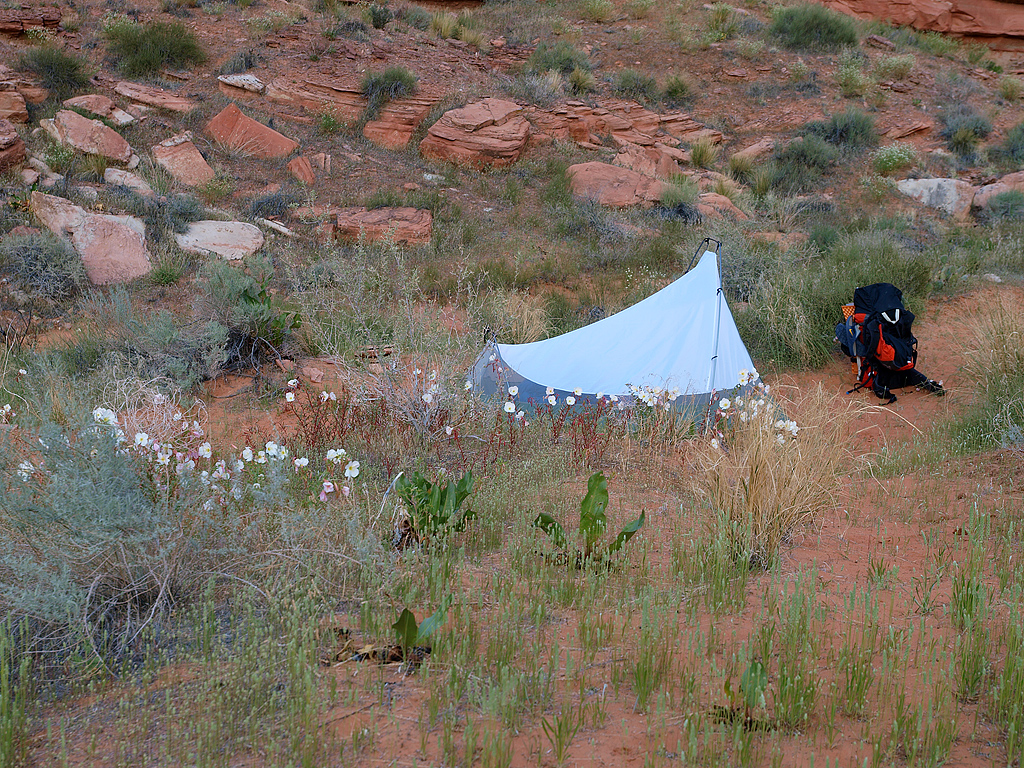
This was where we had to leave the canyon. 3 people made camp in the canyon, while 3 others (myself included) hiked up to one of the rims and made camp:
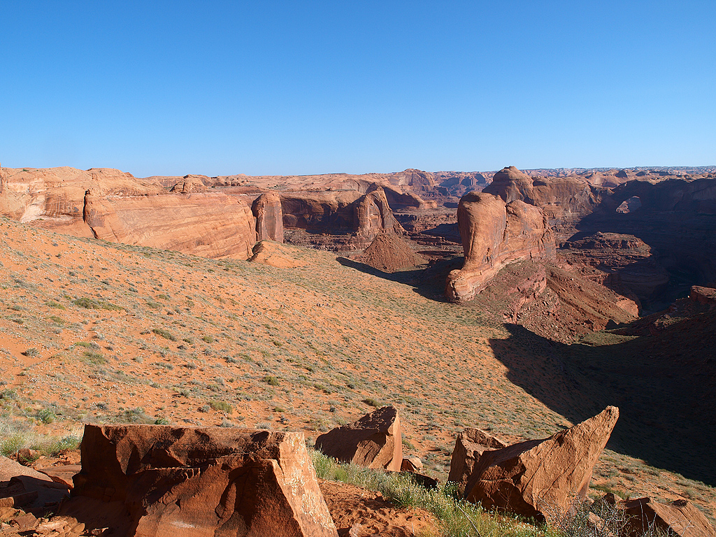
The view from my camp:
sunset:
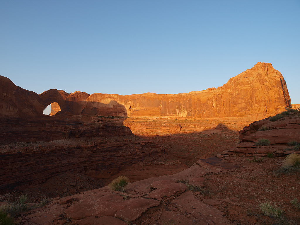
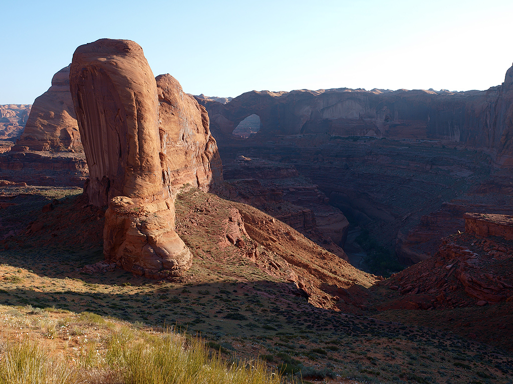
Sunset made yet another of the arches stand out:
Day 4:
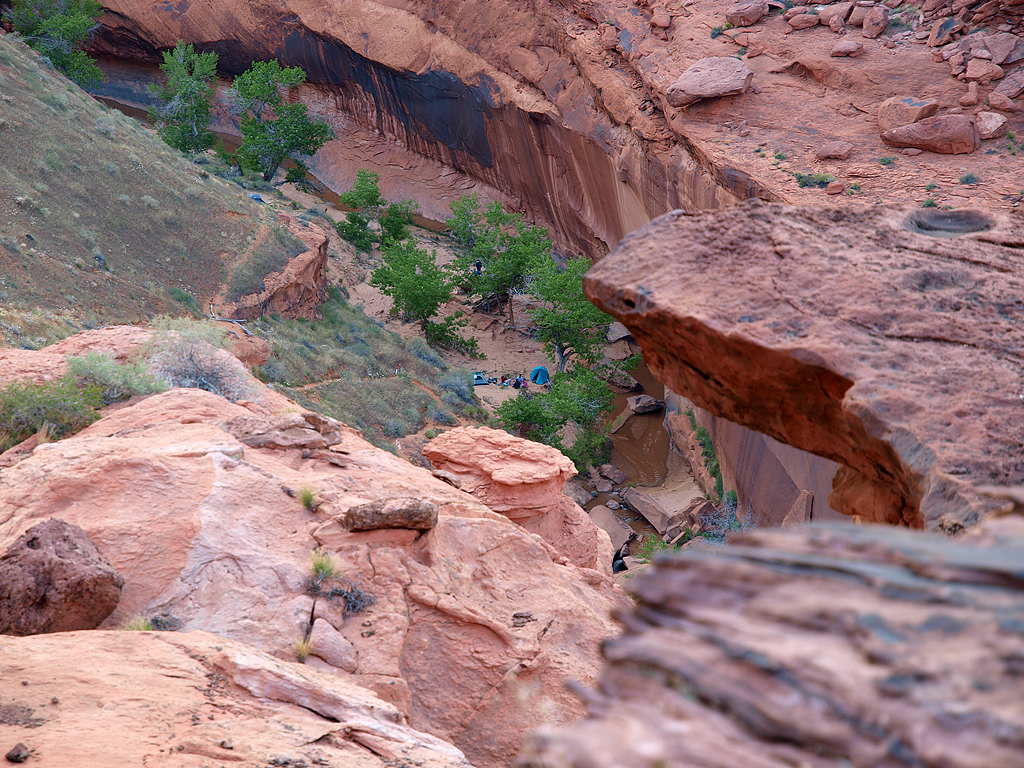
Zooming in on the camp 800' below my clifftop perch:
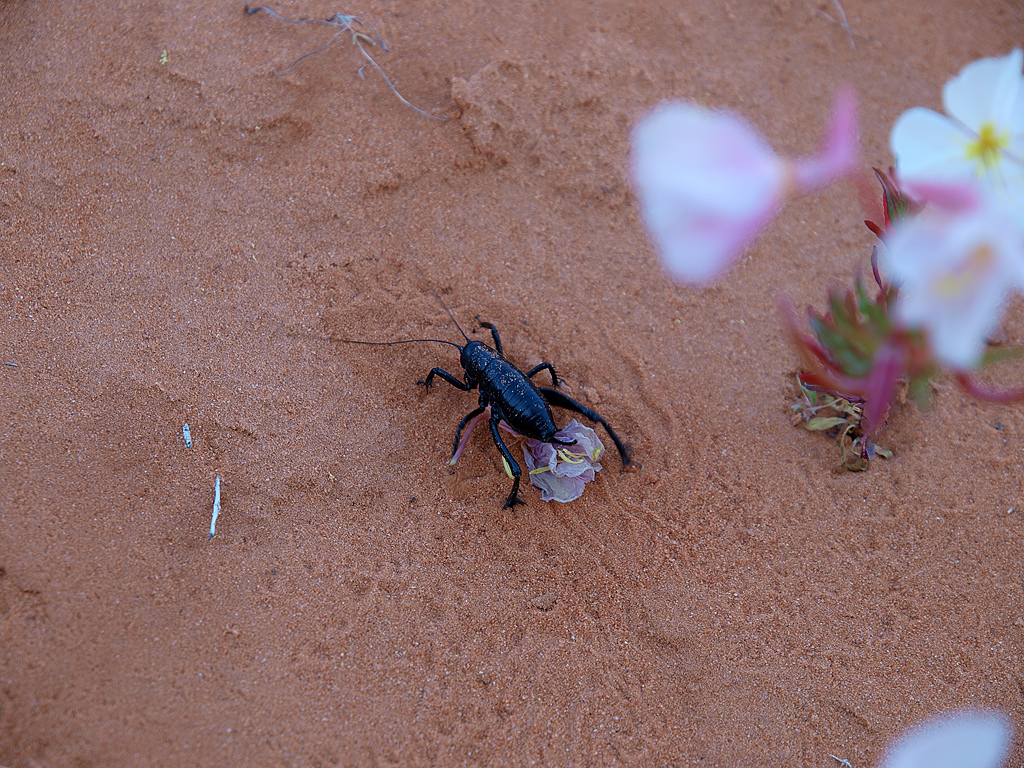
I don't know what the hell this bug is, maybe a cricket? 2 of us broke camp around 6:30am to make the brutal hike up to the top of the rim before the sun had a chance to fry everything. There were literally hundreds of thousands of these bugs. I'd say there were probably 2 bugs per square foot of dirt & way more flowers. We had to keep our eyes down to avoid stepping on them every time we moved:
Pretty close to the top now:
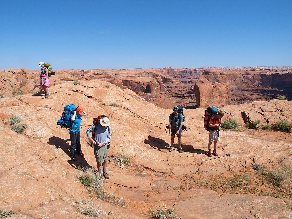
We had to wait at the base of a 50' cliff for the rest of our group, who finally showed up 2 hours later. The exit is called "crack in the wall" for good reason. There's an actual crack one can squeeze through to get to the top, but it is too narrow for packs. So, we had to drop ropes from above and pull up all the packs. Even marginally fat people would not be able to get out & would have to backtrack a good 12 miles for another exit. Here's a view from the base of the cliff:
And from on top, once we hauled up all our gear:
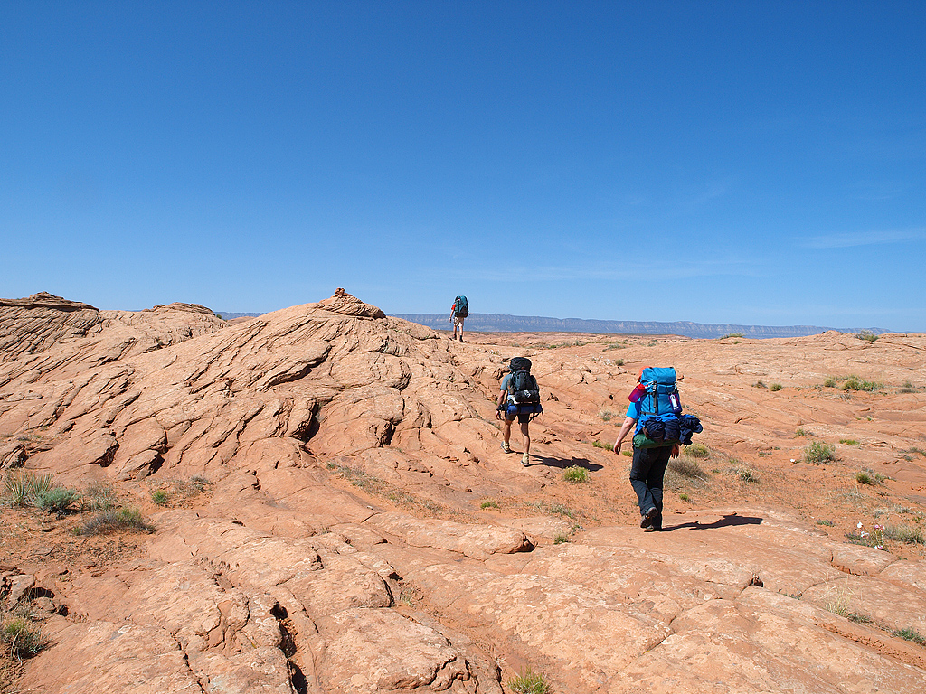
The final 2 miles to the car:
I brought my big camera along for this trip, and I'm glad I did. It had dirt and mud caked all over it & it really took a while to clean it all off. Fortunately, it is extremely well sealed, so dirt and water can't get inside it unless I take it swimming. All in all a very good trip. I was only carrying around 4 liters of water, so my pack was a much lighter 40 lbs. The next trip is being planned, and I'm pretty sure it will be another "gulch." Grand Gulch is what we're mulling over, and it sounds very cool-tons of Anasazi kivas, ruins, pottery, etc. So much stuff that the archaeologists have not had the time to examine/excavate everything.
I have more pics from last week's trip here:
http://www.flickr.com/photos/nvsteve/se ... 886289312/